St. Johns Heritage Parkway Study
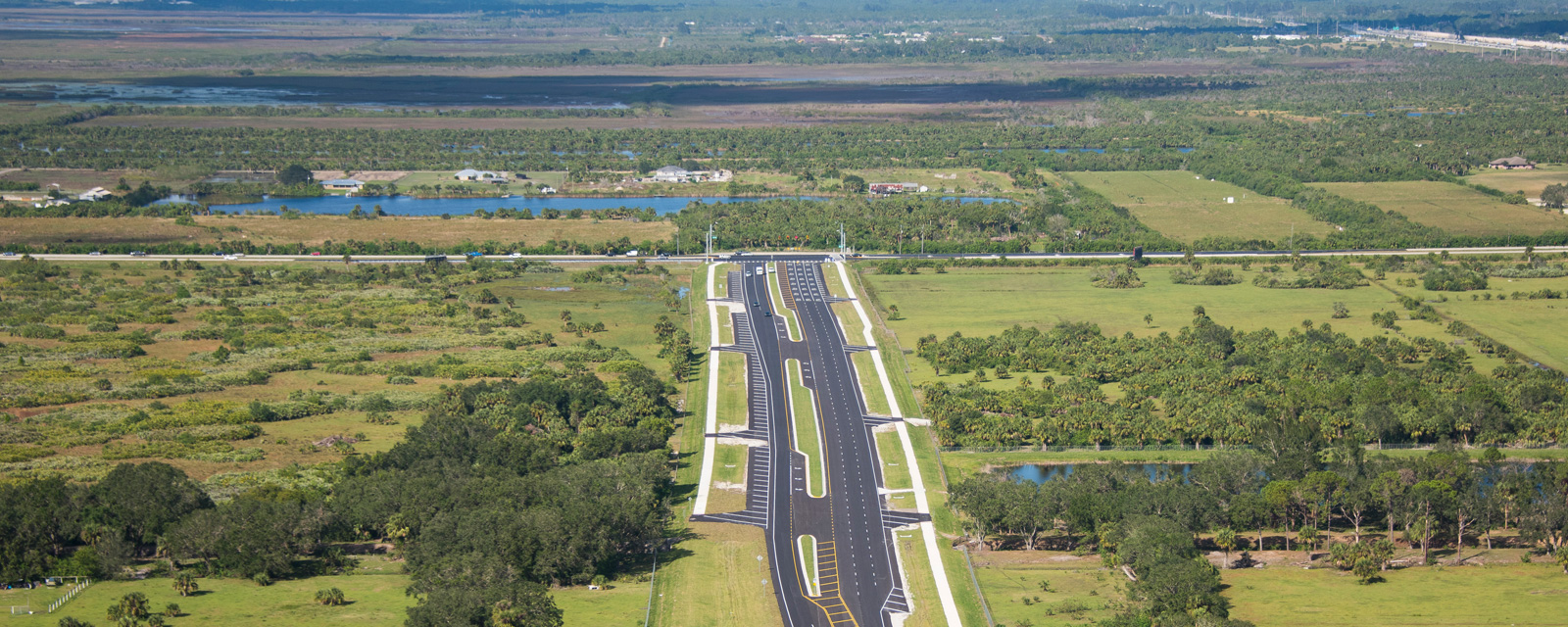
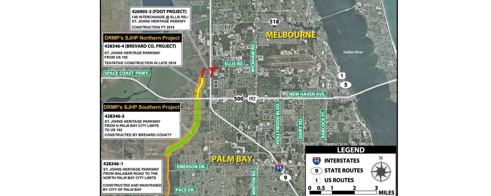
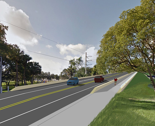
The St. Johns Heritage Parkway Study project limits were from the City of Palm Bay, to the south, to the intersection of Ellis Road / John Rodes Boulevard on the north end. Brevard County, Florida sought professional engineering services to evaluate this project corridor. Specific challenges associated with the design of this 4-lane divided rural roadway was that it traversed through 8-miles of farmland, wetlands, and environmentally sensitive areas. The project involves floodplain impact, wetland impacts, federally and State listed wildlife species and associated habitat, and potential contamination sites. The project involved intensive coordination with outside agencies including Federal Highway Administration (FHWA), FDOT District Five, City of Palm Bay, St Johns River Water Management District (SJRWMD), US Army Corps of Engineers (USACE), Florida Fish and Wildlife Conservation Commission (FWC), US Fish and Wildlife Services (USFWS), Florida State Historic Preservation Office (SHPO), Environmental Protection Agency (EPA), Florida Department of Environmental Protection (FDEP) and the Melbourne-Tillman Water Control District. The alignment required evaluation of alternatives to avoid and minimize impacts to both wetland and environmental sensitive areas. The project also had alignment evaluations associated with avoiding/reducing impacts to various properties and utilities along the project corridor. Bridge crossing were evaluated and in some cases relocated, or eliminated, based on changes to parcel access/property access to the Parkway itself. The drainage design was closely associated with both the floodplain impacts and available land that could accommodate both drainage and floodplain criteria.
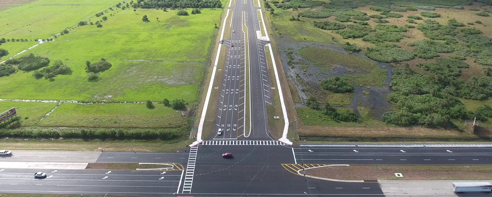
This project involves the construction of 8-miles of 4-lane divided rural roadway and is initially constructed as a 2-lane facility due to the high construction costs associated with this project. This project involved major stormwater design, intersection design, roadway design, bridge design, utility coordination, right-of-way acquisition, and pedestrian features and included a PD&E reevaluation and preliminary engineering phase. The project was originally studied and a PD&E Document was prepared and approved by FDOT in December 2003. DRMP performed a PD&E reevaluation process to ensure the projects compliance to applicable State and Federal guidelines. This involved documenting the project impact status and verifying the concept design, environmental, and social impacts. DRMP was also tasked to develop a Preliminary Engineering Report that would further define the roadway alignment, right-of-way, survey, environmental impacts and property impacts.
Upon full completion, the Parkway will serve as a major north-south connector roadway between Palm Bay and Melbourne and other destinations north of US 192.

