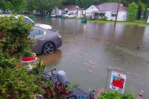
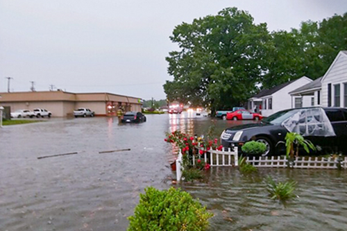
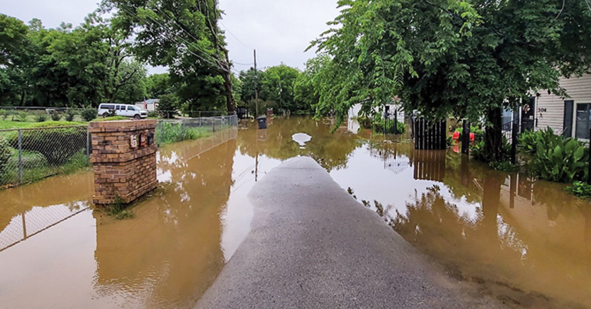
The destruction caused by Hurricane Helene in the Southeastern United States serves as a stark reminder of how catastrophic flooding can devastate communities.
In many predominantly Black rural towns and small cities across eastern and southern Arkansas, residents have experienced ongoing flooding challenges for years. Compounding the flooding, these areas are typically economically disadvantaged, and limited resources combined with insufficient funding, hinder the efforts to improve the infrastructure needed to tackle these flooding problems correctly.
DRMP actively contributed to efforts aimed at addressing these challenges through the U.S. Department of Agriculture’s Natural Resources Conservation Service’s (NRCS) Watershed and Flood Prevention Operations (WFPO) Program.

We were excited to collaborate with our sister firm, Waggoner Engineering, Inc., to assist KEE Concrete and Construction (KEE) in Helena-West Helena, Ark., as well as the Joint-Venture (JV) team comprised of Olsson and EJES in Pine Bluff, Ark., to develop a comprehensive plan for addressing flooding issues in these towns. Together, we supported the Arkansas Black Mayors Association (ABMA) in completing draft Watershed Plan-Environmental Assessments (Plan-EAs) for the NRCS.
These projects represent a potentially groundbreaking alliance between the ABMA and the NRCS, with the NRCS investing $95.9 million in 19 Arkansas watershed improvement projects. Watersheds are regions of land that collect and channel rainwater or melting snow into bodies of water, such as rivers, lakes, or oceans. These projects aim to prevent the deterioration and flooding of highways, bridges, and neighborhoods while improving water quality, enhancing wildlife habitats, and increasing resilience to natural disasters.
This environmental initiative seeks to mitigate the impacts of flooding and foster a more climate-resilient future for these disadvantaged socioeconomic communities within the Long Lake Bayou – Little Bee Bayou (Helena-West Helena, Ark.) and Bayou Bartholomew (Pine Bluff, Ark.), Watersheds.
Flood Prevention Planning
DRMP’s National Environmental Policy Act (NEPA) practitioners and planning staff offered KEE and the JV team specialized expertise in the various sections of the Plan-EA. This included background on watershed planning, purpose and need statements, descriptions of affected environments, development of alternatives, assessment of environmental consequences, and justification for the preferred alternative. The assessments involved in-depth analyses of the ecological, social, and economic characteristics of the watersheds, promoting a comprehensive understanding of each area's needs. These efforts aligned with the NRCS’s mission to enhance natural resource stewardship through collaborative approaches that engage local communities and stakeholders.

The requirements for a NRCS Watershed Plan-EA are grounded in several key frameworks and regulations aimed at ensuring environmental protection and effective planning:
- National Environmental Policy Act: The Plan-EA process is guided by NEPA, which mandates federal agencies to assess the environmental impacts of their proposed actions. This involves considering alternatives and evaluating potential effects on the environment.
- Watershed Protection and Flood Prevention Act: This legislation provides the authority for the NRCS to implement projects aimed at improving watershed health, flood prevention, and resource conservation. The Plan-EA outlines specific projects that align with these goals.
- Public Involvement: The planning process emphasizes stakeholder engagement, requiring input from local communities, agencies, and other interested parties. This ensures that the plans address local needs and concerns.
- Technical Standards and Guidelines: The NRCS has established specific technical guidelines that must be followed in the preparation of watershed plans, including hydrology, geology, and ecosystem considerations.
- Assessment of Resources: The Plan-EA includes an assessment of natural resources, including soil, water, vegetation, and wildlife habitats, to identify existing conditions and potential impacts of proposed actions.
Infrastructure Solutions for Disadvantaged Communities
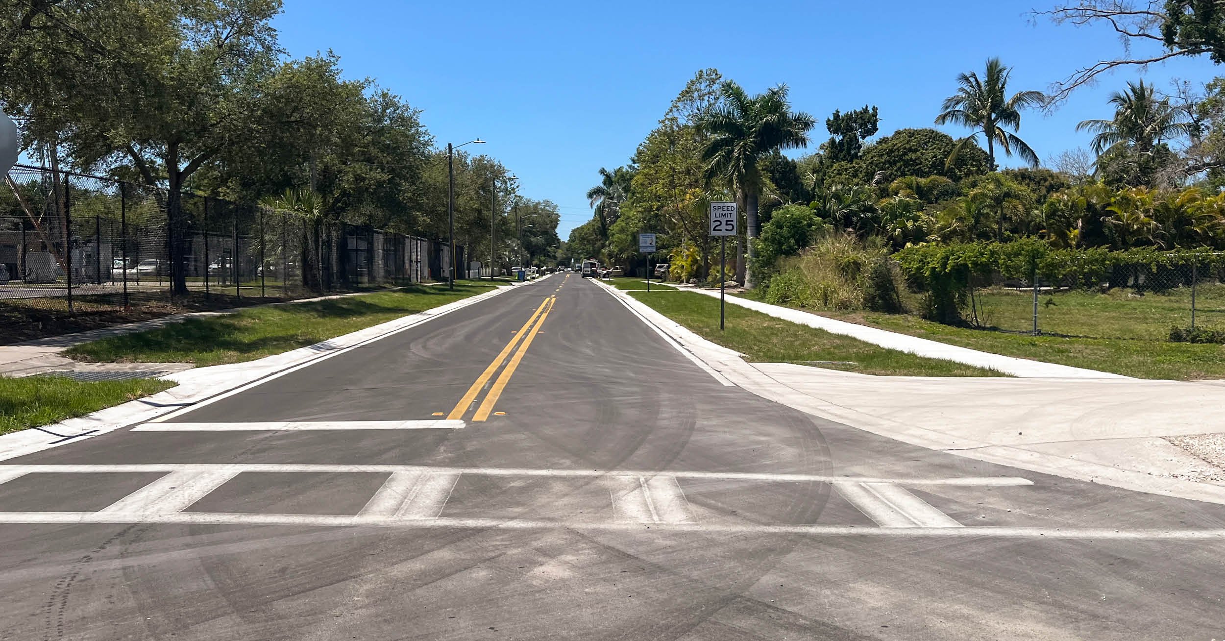
These requirements ensure that watershed plans are comprehensive, environmentally sound, and tailored to meet the specific needs of the communities they serve. These Plan-EAs offer a range of solutions aimed at reducing flooding and flood damages in these disadvantaged communities through infrastructure improvements, such as upgrading and maintaining drainage systems and levees to better manage stormwater and reduce flood risks; providing streambank stabilization to prevent erosion and reduce sedimentation, thus improving water flow and quality; and incorporating flood-proofing measures, such as elevating a number of at-risk structures.
Community Education on Flood Risks
Additionally, the Plan-EAs evaluate the effectiveness of incorporating programs to educate community members about flood risk management that promote best practices for personal and community resilience; and the need to establishing long-term monitoring and maintenance protocols for flood mitigation structures and practices to ensure their effectiveness over time. By addressing both the physical and social aspects of flooding, these assessments aim to create more resilient communities while fostering environmental stewardship.
DRMP provided NEPA and planning staff from our Tampa, Orlando, Charlotte, and Raleigh offices to complete these Plan-EAs. The team brought diverse expertise in land-use planning, zoning, Geographic Information Systems (GIS), and community development, ensuring solutions aligned with broader planning efforts. They assessed social impacts and the effects on vulnerable populations, complied with federal, state, and local regulations, and considered environmental policies to support conservation and sustainability goals. This multidisciplinary expertise is crucial for conducting comprehensive evaluations that effectively address flood impacts while considering environmental, social, and economic factors.
Joyce Barkley serves as the Project Development and Environment (PD&E)/National Environmental Policy Act (NEPA) Lead in Florida for DRMP’s Transportation Market.
Tanya Thompson, AICP, serves as a Carolinas Transportation Planner for DRMP’s Transportation Market Sector.


