- Discover
-
Expertise
-
Alternative Delivery
- I-275 at I-4 Downtown Tampa Interchange Design-Build
- Wekiva Parkway Section 8 Interchange
- US 17/92 Interchange at SR 436
- SR 9B Extension from I-95 to US 1
- A. Max Brewer Bridge Replacement
- I-95 Widening from the Indian River/Brevard County Line to Malabar Road
- SR 528 (Beachline Expressway) at Innovation Way Interchange
- SR 570 Polk Parkway Widening from I-4 to Pace Road
- I-95 Express Lanes and Ramp Signals – Phase 3A-1
- Pollard Road Extension over Peace Creek
- I-485 Widening from I-77 to Rea Road
- Monroe Bypass/Connector Design-Build
- Construction Services
- Ecological Services
-
Federal Services
- Range of the Future Study
- US Coast Guard Air Station (Clearwater)
- Ascension Island Fire Station Renovation
- Patrick Space Force Base Water Lines Repair
- Patrick Space Force Base Living Shoreline Restoration
- P-505 Electrical Hardening and Black Start CHP at Marine Corps Air Station Beaufort
- Naval Station at Guantanamo Bay Survey Services
- Repair Phillips Parkway and Speed Limit Study
- Ascension Island Auxiliary Airfield Surveying and Mapping Services
-
Geographic Information Systems (GIS)
- Thermal Design/Comprehensive Campus LiDAR Collection
- Greater Orlando Aviation Authority (GOAA) Strategic Commerical Land Development Program
- University of Florida Sanitary Sewer GIS Mapping
- Ascension Island Auxiliary Airfield GIS Integration
- Santa Rosa County School District's School Transportation & Capacity GIS Analysis
- Gainesville Community Redevelopment Agency Socioeconomic Analysis and Site Suitability Report
- Real Estate Site Suitability and Development Analysis
- SR 836 (Dolphin Expressway) GIS Asset Inventory of Pre-Post Construction
- Alachua County Public Schools GIS and School Planning Professional Services
- Patrick Space Force Base Living Shoreline Restoration GIS Analysis
- Florida Army National Guard Readiness Center GIS Inventory & Integration
- Comprehensive Transit Study Puerto Rico GIS Analysis
- Land Development
- Structural Engineering
-
Subsurface Utility Engineering (SUE)
- Thermal Design/Comprehensive Campus LiDAR Collection
- P-505 Electrical Hardening and Black Start CHP at Marine Corps Air Station Beaufort
- Resurface & Safety Improvements Turnpike Mainline
- University of Florida Rabon Utility Mapping
- FP&L Subsurface Utility Engineering Continuing On-Call Contract
- Lockheed Martin Subsurface Utility Engineering Services
- Palm Coast Parkway Subsurface Utility Engineering Services
- Surveying & Mapping/Geospatial
-
Traffic Impact Analysis
- 505 West Chapel Hill Street
- 5th Street Station
- Beale Farm Industrial Park
- Blue Mountain Mist Resort
- The Villages at McCullers Walk
- Fredericksburg National Baseball Stadium
- Hendrick Southpoint Auto Mall
- Apex Friendship Elementary School
- Whole Foods Center
- Barclay West
- Grove 98
- Pullen Drive Extension/Catholic Diocese
- Trails/Parks & Recreation Facilities
- Transportation
-
Utilities Engineering
- Ascension Island Fire Station Renovation
- M-1 Canal Water Main Extension
- 5th Street Bridge Utility Replacement
- Captain’s Cove Wastewater Plant Revisions & Permit Renewal
- City of Fort Myers Downtown Utility & Streetscape Improvement
- Florida Caverns State Park Lift Station Rehab
- Tween Waters Inn Wastewater Plant Permit Renewal
- City of Fort Myers Wastewater Capacity Studies
- Patrick Space Force Base Water Lines Repair
- Big Lagoon Boat Ramp Wastewater System
- St. Joseph State Park Septic Tank Replacement
- WildBlue Development Wastewater Modeling
- A-1 Gator Wastewater Capacity Increase
- Water Resources/Stormwater Management
-
Alternative Delivery
- Careers
- News
- #DRMPerspective
- Team With Us
- Locations

Now viewing articles in the category Geographic Information Systems.
Committed to a Culture of Safety at DRMP
June 18th, 2025
June is National Safety Month, and safety is a top priority at DRMP. We continuously invest in safety training, equipment, and resources to protect our employees, whether they work behind a desk or out in the field. For our clients, this commitment means fewer delays, fewer incidents, and greater confidence that their projects will be delivered successfully, efficiently, responsibly, and without compromise to safety.
2 minute readPosted in: All, Alternative Delivery, Civil Services, Construction Services, Ecological Services, Federal Services , Geographic Information Systems, Subsurface Utility Engineering, Surveying & Mapping, Traffic Impact Analysis, Transportation, Utilities Engineering, Water Resources/Stormwater Management
Quality Control Saves Time, Money, and Your Reputation
June 5th, 2025
In a dynamic architecture, engineering and construction (AEC) industry shaped by evolving standards and community expectations, DRMP is committed to continually enhancing the quality of our services. Our goal is to maintain a culture that consistently delivers quality control (QC) as a core value to every client. QC at DRMP is the process by which we ensure our deliverables meet or exceed client expectations and meet industry standards. QC involves identifying and correcting errors early, maintaining accuracy, and ensuring that our work is safe, reliable, and efficient.
2 minute readPosted in: All, Alternative Delivery, Civil Services, Construction Services, Disaster Resilience and Sustainability , Ecological Services, Federal Services , Geographic Information Systems, NEPA , Project Development & Environment , Structural Engineering, Subsurface Utility Engineering, Surveying & Mapping, Traffic Impact Analysis, Transportation, Transportation Planning/Project Development , Utilities Engineering, Water Resources/Stormwater Management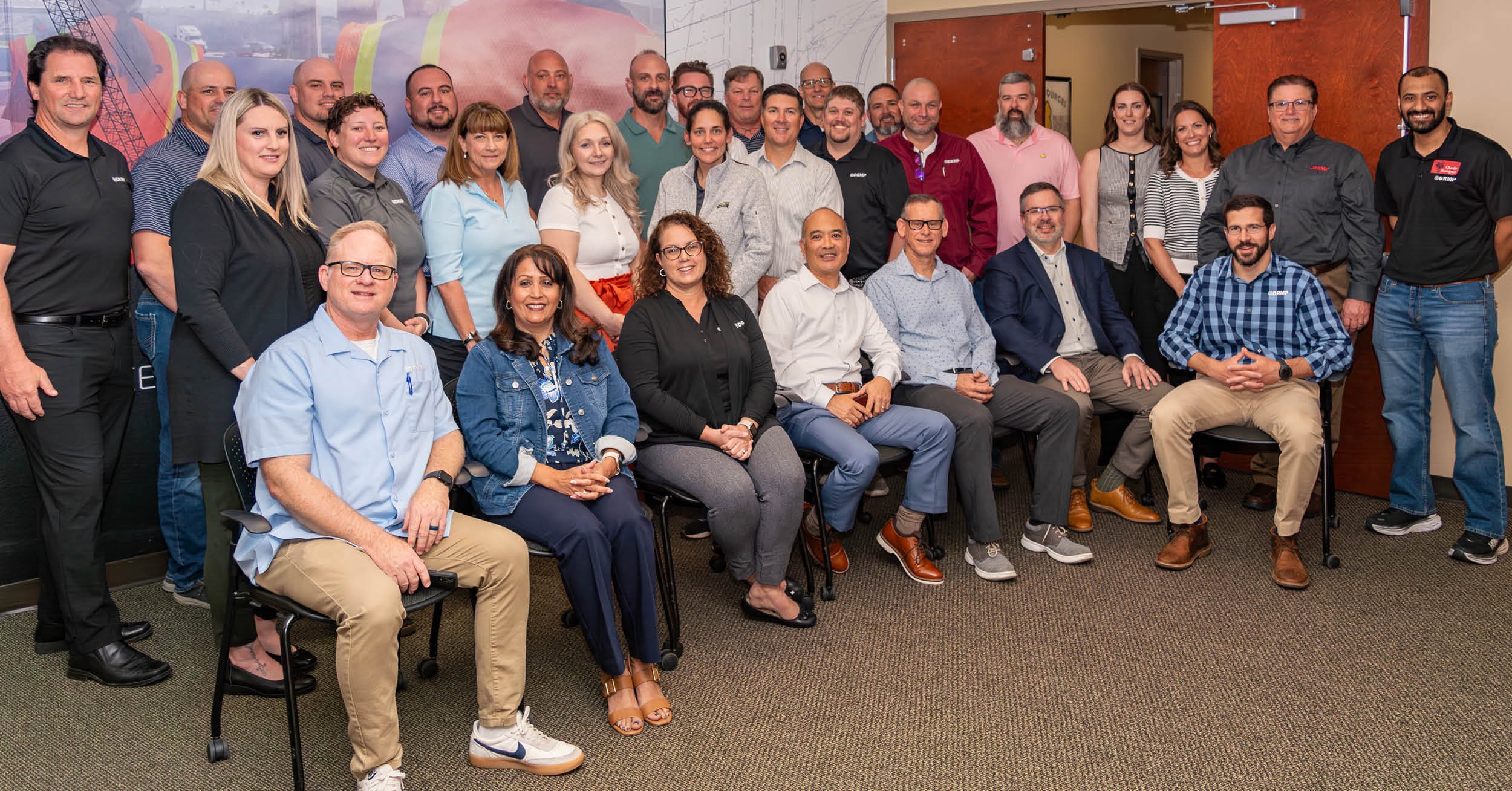
DRMP Targets Southeast Expansion and ITS Innovation Following 2025 Growth Summit
April 30th, 2025
Earlier this month, DRMP leaders gathered at the firm's headquarters in Orlando, Fla., for its inaugural Growth Summit, providing a valuable opportunity for leaders across all market sectors to come together to identify growth opportunities and align on DRMP’s vision for future growth.
1 minute readPosted in: All, Alternative Delivery, Civil Services, Construction Services, Disaster Resilience and Sustainability , Ecological Services, Federal Services , Geographic Information Systems, Learning & Development, NEPA , Project Development & Environment , Structural Engineering, Subsurface Utility Engineering, Surveying & Mapping, Traffic Impact Analysis, Transportation, Utilities Engineering, Water Resources/Stormwater Management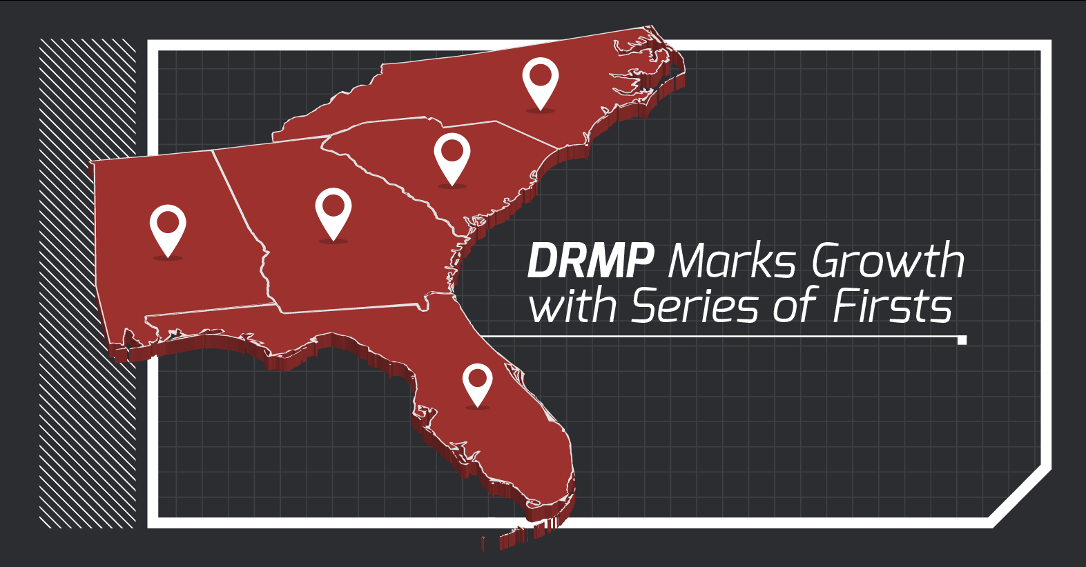
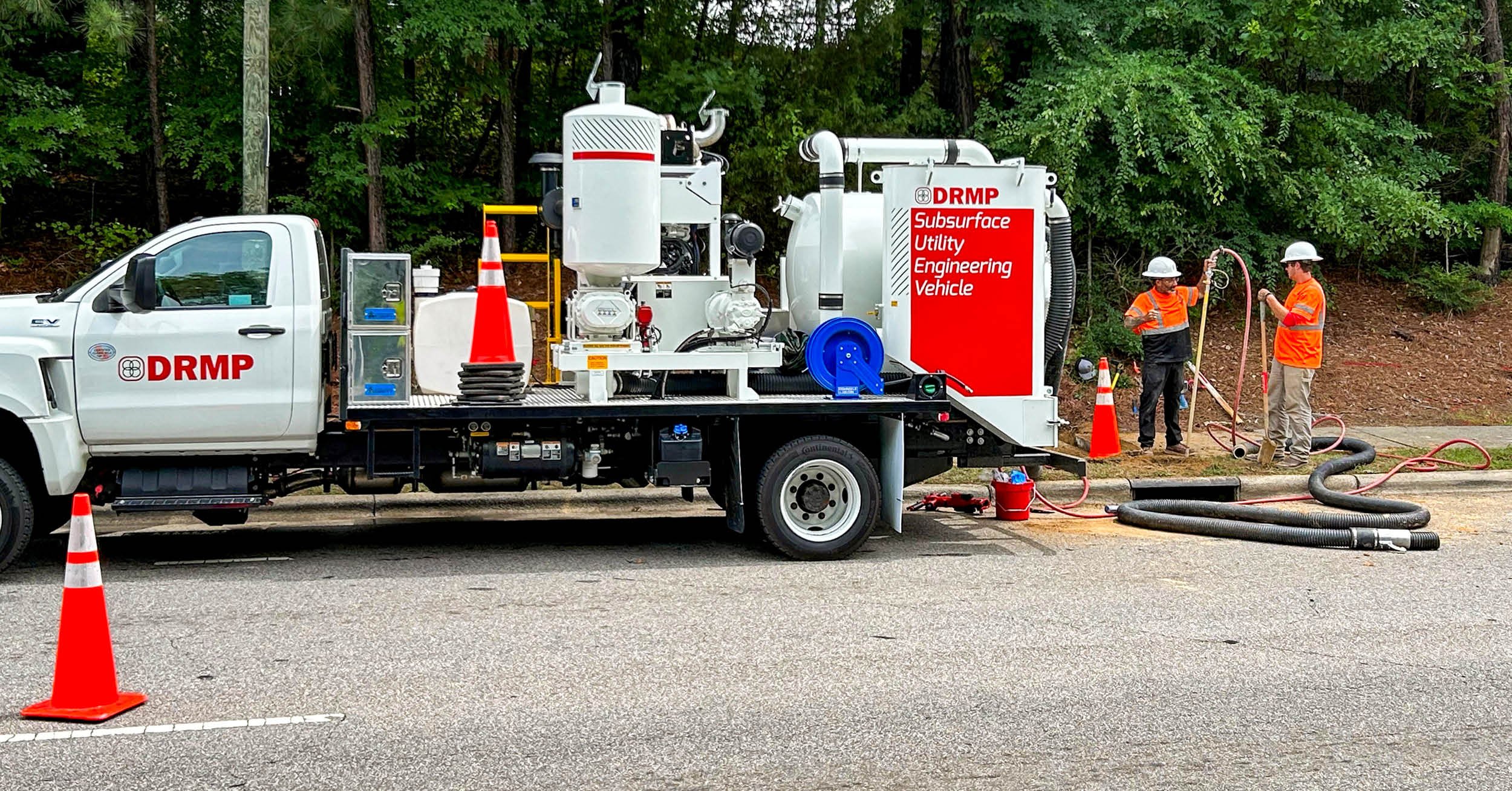
DRMP Marks Growth with Series of Firsts
April 30th, 2025
As we scale regionally across the Carolinas, Georgia, and Florida, DRMP is expanding its presence as a dynamic A/E/C firm, strengthening our commitment to our people, capabilities, and relationships in every market we serve. This momentum has translated into several groundbreaking wins that highlight our ability to evolve while staying true to our core values.
4 minute read
Protecting Wetlands for Cape Canaveral Space Force’s Range of the Future Project
February 2nd, 2025
Wetlands provide critical wildlife habitat and a healthy ecosystem, but development can harm them if not carefully planned. As a subconsultant to KZF Design, DRMP helped prepare infrastructure plans for Cape Canaveral Space Force Station and Patrick Space Force Base, evaluating potential impacts on wetlands. World Wetlands Day, celebrated on Feb. 2, raises awareness of their importance.
2 minute read
How LiDAR and GIS are Modernizing Road Sign Inventories for Safer Travel in West Virginia
January 9th, 2025
The West Virginia Division of Highways (WVDOH) needed a solution to modernize its road sign inventory on a stretch of US 19 in Braxton and Nicholas counties and identify signs that no longer meet regulatory standards. As a subconsultant to our sister firm, the Mannik & Smith Group, DRMP assisted with this project by using Geographic Information Systems (GIS) and mobile LiDAR technology.
2 minute read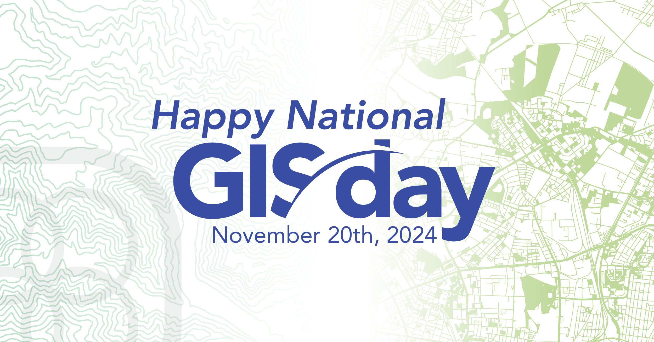
Celebrating National GIS Day 2024
November 20th, 2024
As we celebrate National GIS Day, DRMP’s GIS team has plenty to reflect on after a year filled with exciting projects and professional growth. From designing an application to display school zones for Hillsborough County Public Schools in Florida to using LiDAR and GIS to enhance roadway safety, each team member has made an impact. Our year in review looks back at some of their noteworthy highlights and proudest achievements from the past year.
3 minute readPosted in: All, Geographic Information Systems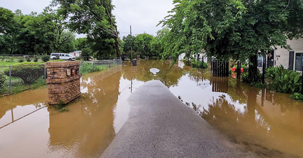
Flooding Solutions Bring Relief to Arkansas Communities
November 6th, 2024
In many predominantly Black rural towns and small cities across eastern and southern Arkansas, residents have faced ongoing flooding challenges for years. Compounding the flooding, these areas are typically economically disadvantaged, and limited resources combined with insufficient funding, hinder the efforts to improve the infrastructure needed to tackle these flooding problems correctly. DRMP actively contributed to efforts aimed at addressing these challenges through the U.S. Department of Agriculture’s Natural Resources Conservation Service’s (NRCS) Watershed and Flood Prevention Operations (WFPO) Program.
3 minute read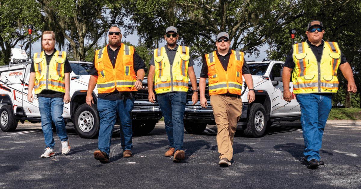
Hitting the Road with Mobile LiDAR, Amplifying Our Reach
October 16th, 2024
DRMP is advancing its Terrestrial Mobile LiDAR services with the latest technology to provide faster, more precise data collection and detailed imagery for a wide range of surveying and mapping projects.
3 minute read
DRMP’s GIS Solutions Support Hillsborough County Public Schools in Planning for the Future
September 10th, 2024
DRMP's GIS team supports Hillsborough County Public Schools with innovative tools and data management solutions, streamlining school zoning, growth planning, and community engagement.
2 minute readPosted in: All, Geographic Information Systems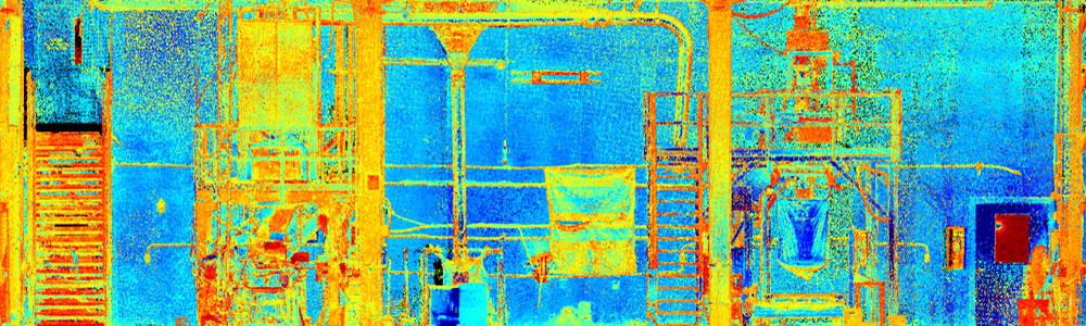
DRMP's LiDAR Expertise Streamlines Morton Salt Plant Redesign in Unique Collaboration
November 1st, 2023
DRMP collaborated with Mannik & Smith Group (MSG) to enhance the Morton Salt Plant redesign by leveraging DRMP's LiDAR expertise and geographic proximity.
2 minute read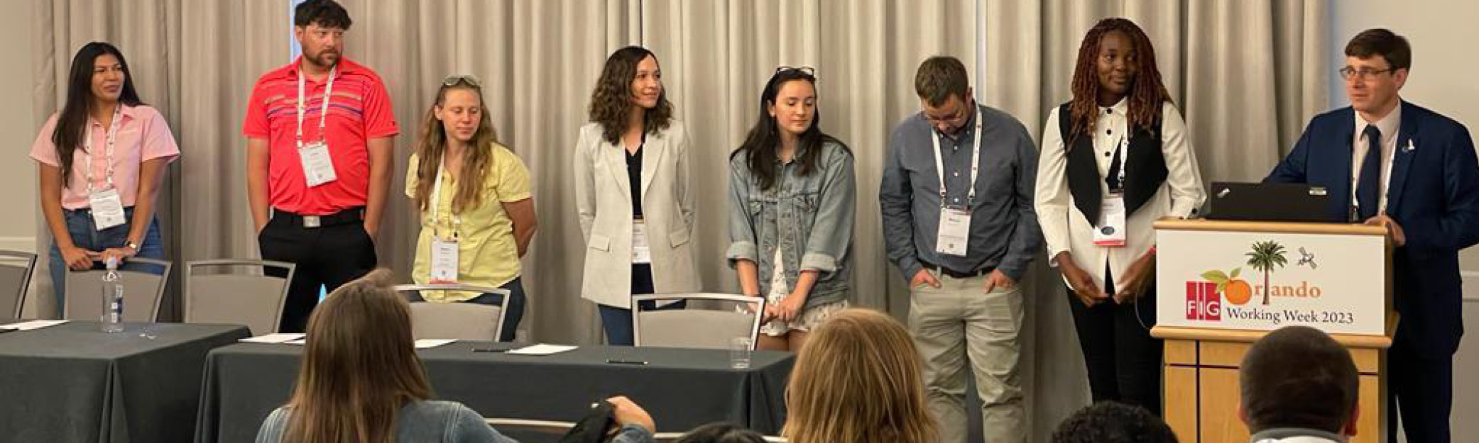
DRMP’s Land Surveyors and Geospatial Experts Build Global Connections at International Conference
June 7th, 2023
The FIG Working Week 2023 conference, held in the United States for the first time in more than 20 years, comes at a critical time for surveyors to gather and share knowledge and recruitment strategies as the industry in the United States and abroad faces a shortage of young surveyors joining the profession.
2 minute read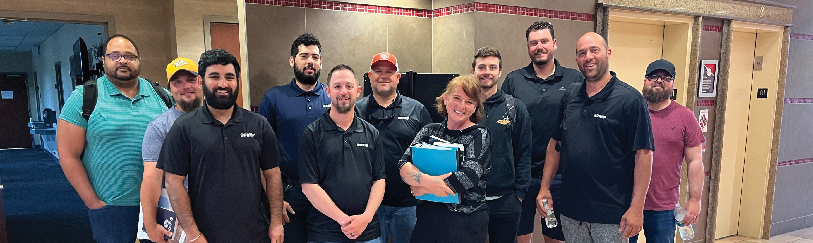
DRMP's Investment in the CST Program Helps Certify the Next Generation of Surveyors
May 31st, 2023
The Certified Survey Technicians (CST) certification is one way in which DRMP is investing in its surveying and mapping staff. The certification provides a career ladder to field technicians who want to advance their careers in the surveying and mapping industry.
2 minute read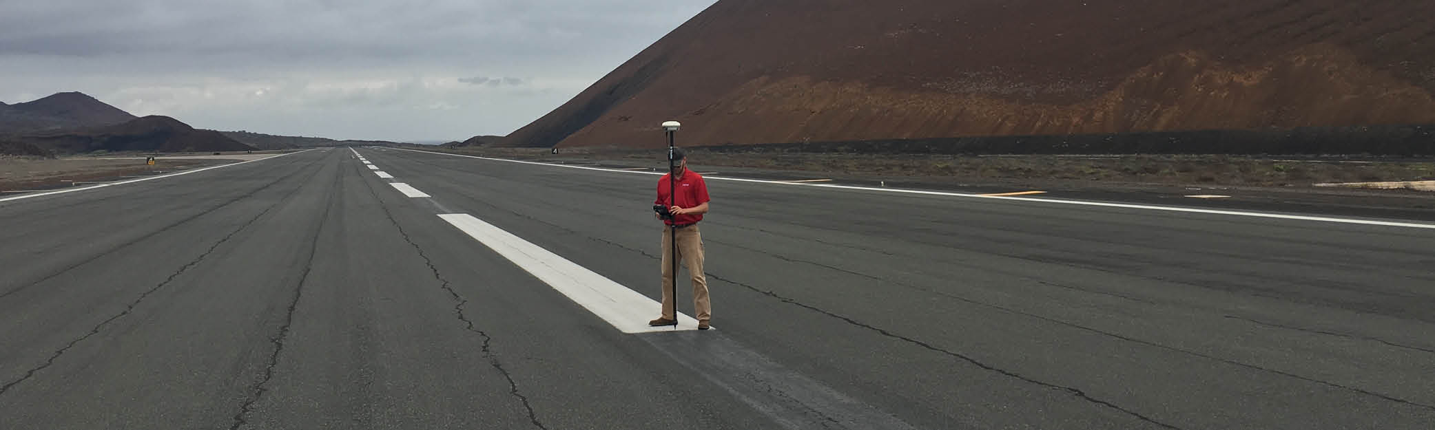
Ascension Island Runway Project Shines Spotlight on DRMP’s Federal Market Sector Capabilities
May 3rd, 2023
DRMP, in partnership with AVCON and prime consultant OTIE, led the design effort for the 10,000-foot runway replacement at the Ascension Island Auxiliary Airfield, which is jointly operated by the Royal Air Force (RAF) and the U.S. Space Force (USSF). The airfield supports military and space missions, as well as limited commercial flights.
2 minute read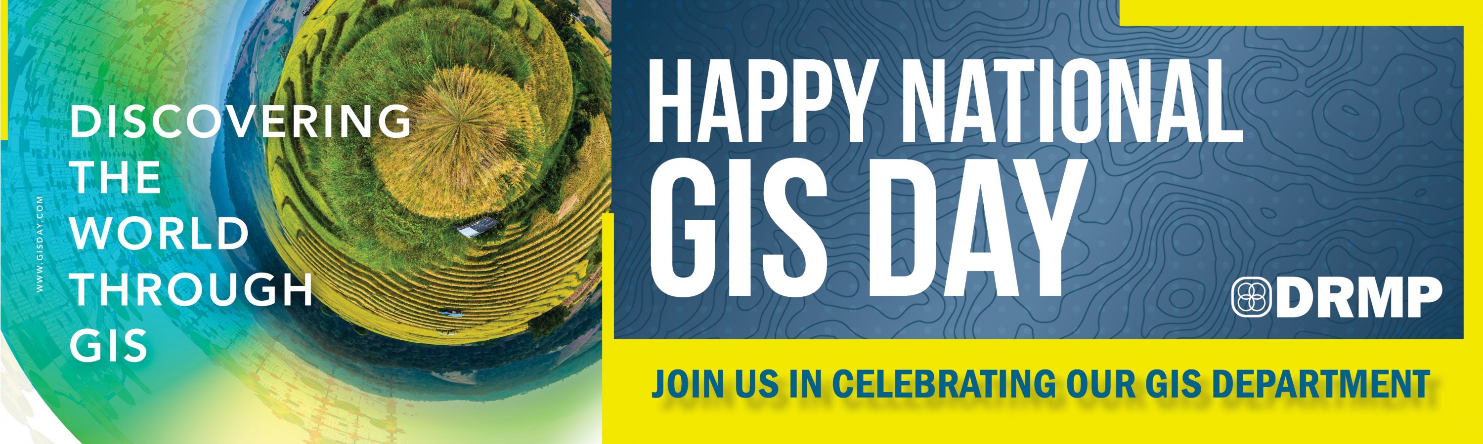
Celebrating 2021 GIS Day
November 17th, 2021
Each year, DRMP celebrates our Geographic Information Systems (GIS) professionals and strives to highlight the unique work they perform for a diverse range of clients. We sat down with GIS Specialist Mark Brown, GISP, to discuss his thoughts on the adaptability of DRMP’s GIS service offerings as well as what motivates him to perform the work he does
1 minute readPosted in: All, Geographic Information Systems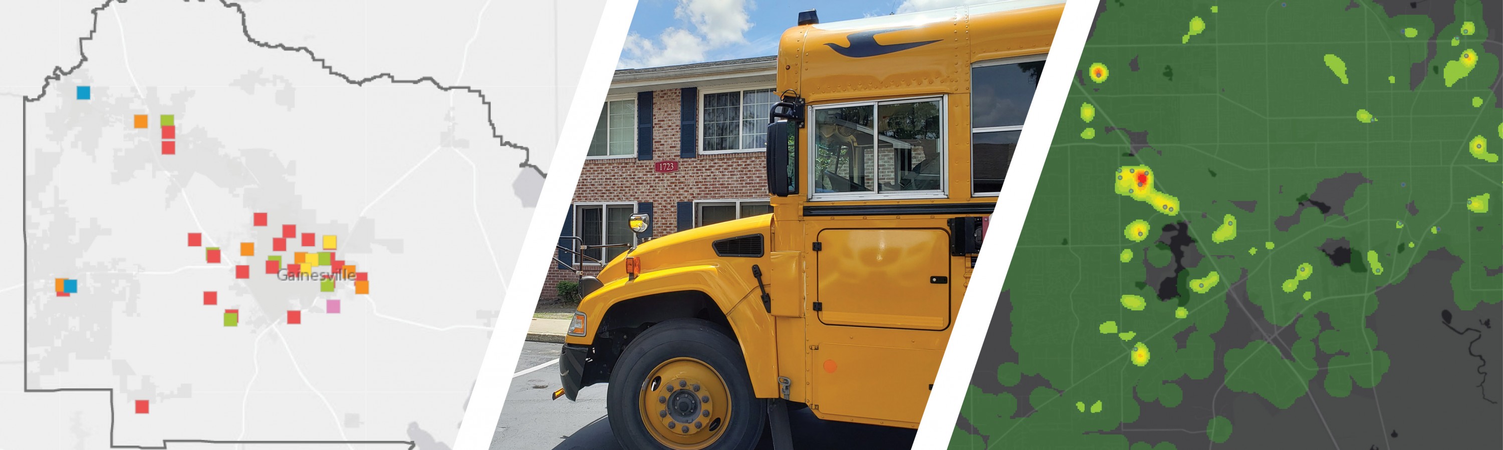
Making a Difference for Students during COVID-19
May 4th, 2020
The COVID-19 pandemic has had a huge impact on students who would normally be enjoying interaction with their fellow students and face-to-face guidance from their teachers.
2 minute read


Categories
- All
- Alternative Delivery
- Civil Services
- Construction Services
- Disaster Resilience and Sustainability
- DRMPCares
- Ecological Services
- eWIRE
- Federal Services
- Geographic Information Systems
- Land Development
- Learning & Development
- NEPA
- Project Development & Environment
- Structural Engineering
- Subsurface Utility Engineering
- Surveying & Mapping
- Traffic Impact Analysis
- Transportation
- Transportation Planning/Project Development
- Utilities Engineering
- Water Resources/Stormwater Management
Contributors
- Michael K. Albano, PE
- Bruno J. Arriola, PE, ENV SP
- Brent Bass, PE, PSM
- Cody Bayer, PE
- Maria Bazemore, PWS, AICP
- Paul Benvie, PE
- Donald W. Brown, PE
- Kyle Brown, PE
- Jake Burton
- Zach J. Carnahan, PE
- Brian Crowl, PE
- Patrick Day, PE
- Nick DeVito, PE
- Matt Floyd, PSM
- Deshon M. Fox, PE
- Scott Garth, PE, LEED AP ND
- Ryan M. Grab, CST II
- Robyn Hartz, INCE
- Lucas S. Helms, PE
- Jim Highland, PE
- Ryan Ianacone, CST II
- TJ Lallathin, Jr., PE, DBIA
- Jay McInnis, PE, CPM
- George McLatchey, PWS, CEP
- Michael McNeese
- Ryan Mitchell, PE
- Megan E. Mott, PE
- Josh Norman
- Melissa Padilla Cintron, SIT
- Pavan Paiavula, PE
- Ryan Pellarin, PE, CCM
- AJ Perkinson, PLS
- Julian Poole, PE
- Joce Pritchett, PE
- Leo Rodriguez, PE
- Rachel L. Schmidt, PWS
- Logan Shappell
- Rynal Stephenson, PE
- Deston Taylor, PE, PTOE
- August Thick II, PLS, CST III
- Orville Williams
- Amanda E. Woods, PE


