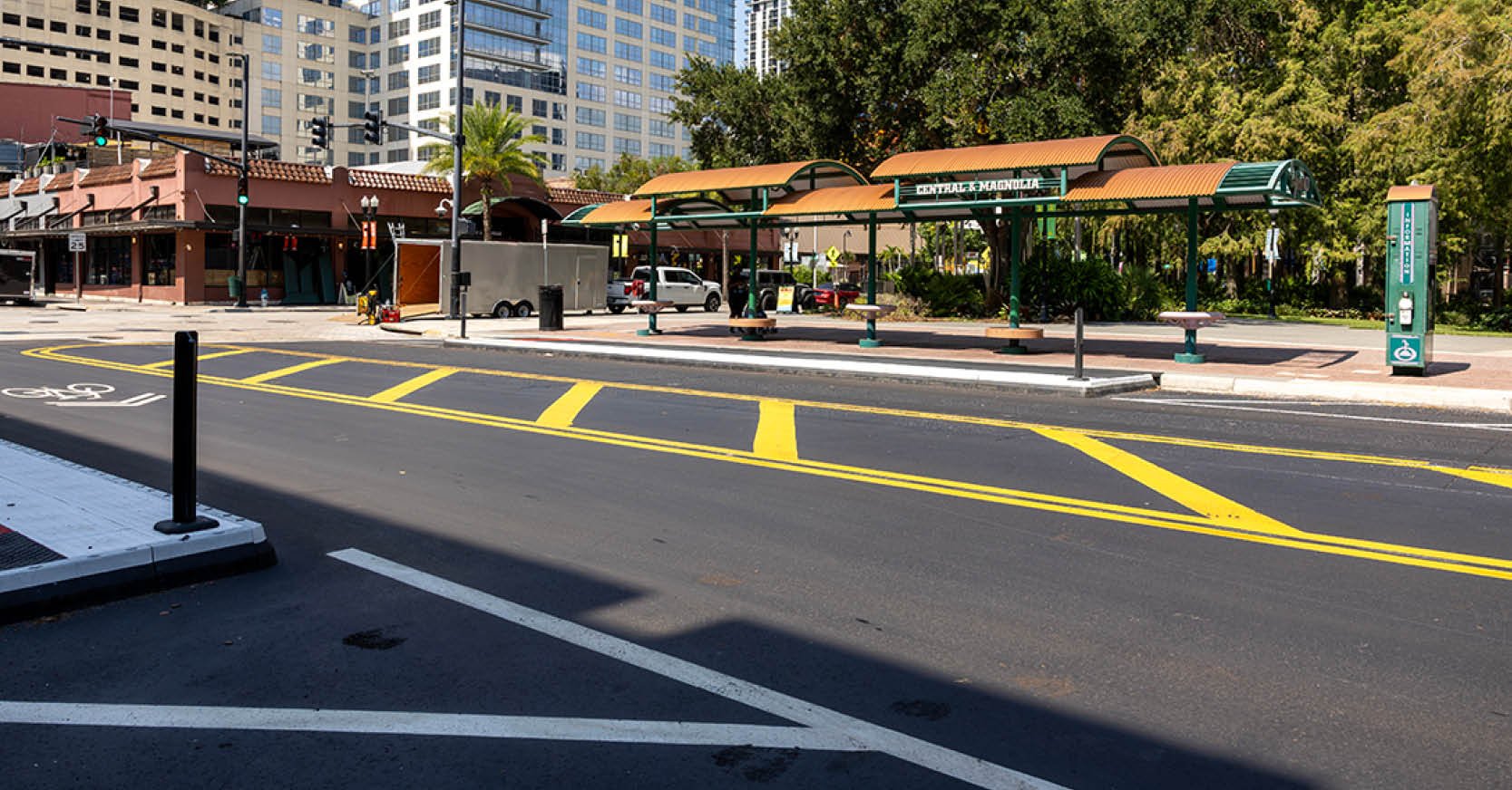
There’s an iconic putting green in Ponte Vedra Beach, Fla., surrounded by water and recognized around the world as one of professional golf’s most famous holes. The site serves as the backdrop for one of the sport’s premier annual tournaments each March, generating a significant economic impact for the region and area businesses.
It’s a test of precision and nerve for golfers as coastal winds, surrounding water, and tight margins leave little room for error.
When the time came to replace the deteriorating bulkhead surrounding the green, DRMP's St. Augustine survey team was entrusted with providing the survey data needed to assist with the project. Specific venue and event names are not mentioned in this article in accordance with licensing and branding restrictions.
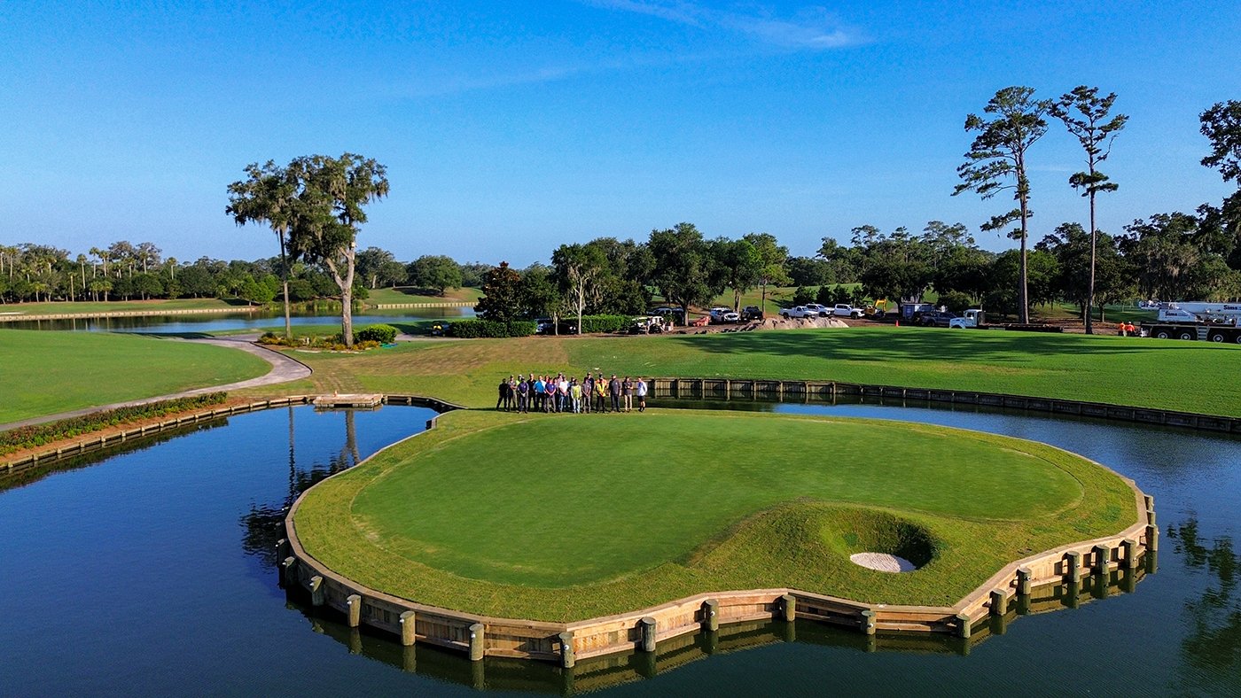
As a subconsultant to the project’s contractor, Riptide Marine & Land Construction, DRMP completed a fast-turnaround pre-construction survey for approximately 400 feet of bulkhead. This work builds on DRMP's ongoing partnership with Riptide, which has included survey support for the Fort Matanzas Seawall & Boardwalk Improvements project in St. Johns County and the Gamble Rogers Seawall Replacement project in Flagler County.
We were pleased to be selected to support this high-profile project, reflecting the trusted working relationship and consistent service we've developed over time with Riptide.
Fieldwork was completed on an as-needed basis over five days, allowing our team to efficiently capture existing conditions within the project’s active and constrained work windows.
Because the golf venue remained fully operational for the first week of the project, field activities were mindfully coordinated around play while maintaining the accuracy needed to support construction. Our survey team performed the work in proximity to an existing seawall, which required careful attention to tight field conditions and alignment with existing features.
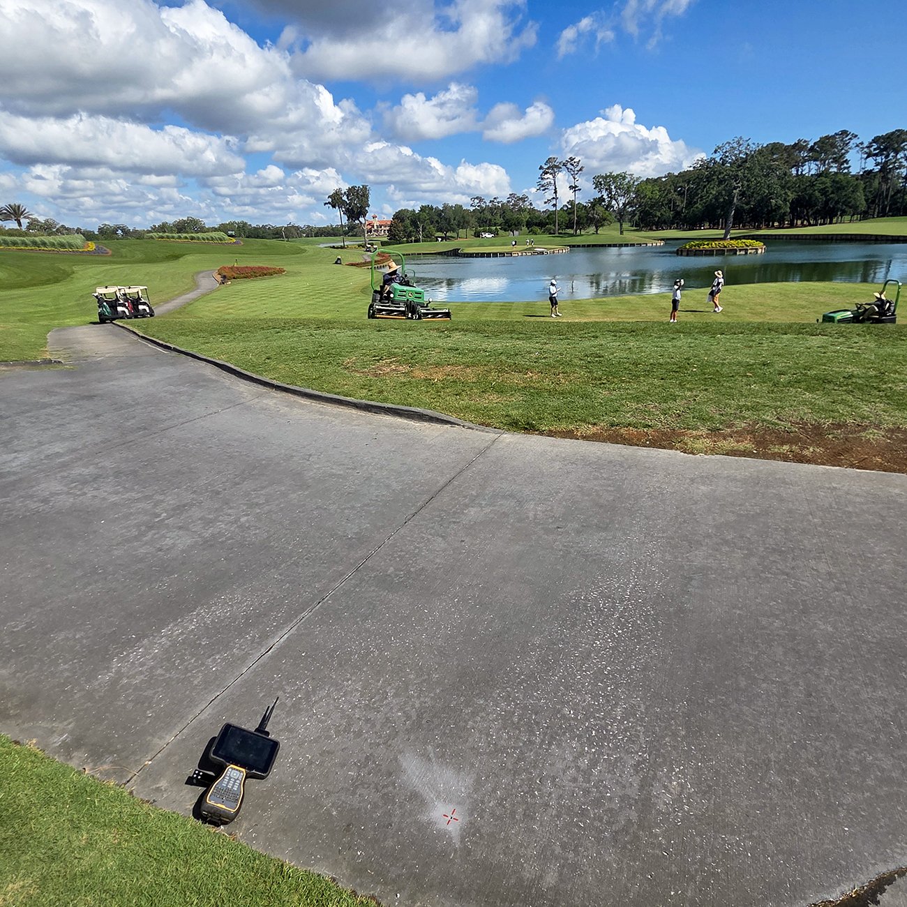
To document existing conditions, our team used a combination of unmanned aerial vehicle (UAV) mapping, static 3D laser scanning, RTK GPS control, and total station surveying. The resulting data provided a comprehensive site map of the bulkhead and surrounding features, giving the contractor and design team the information needed to lay the groundwork for the project’s success. The effort included full-area scanning to ensure a complete baseline record was captured during initial field mobilization.
“Accuracy was critical on this project because the intent was to preserve the existing geometry and character of the original design,” DRMP Senior Right-of-Way Mapper and Project Manager Mike Brown, PSM, said. “Even minor deviations in the field could have affected the alignment and overall form of the feature, so the emphasis was on capturing conditions in a way that reflected what was already there as closely as possible.”
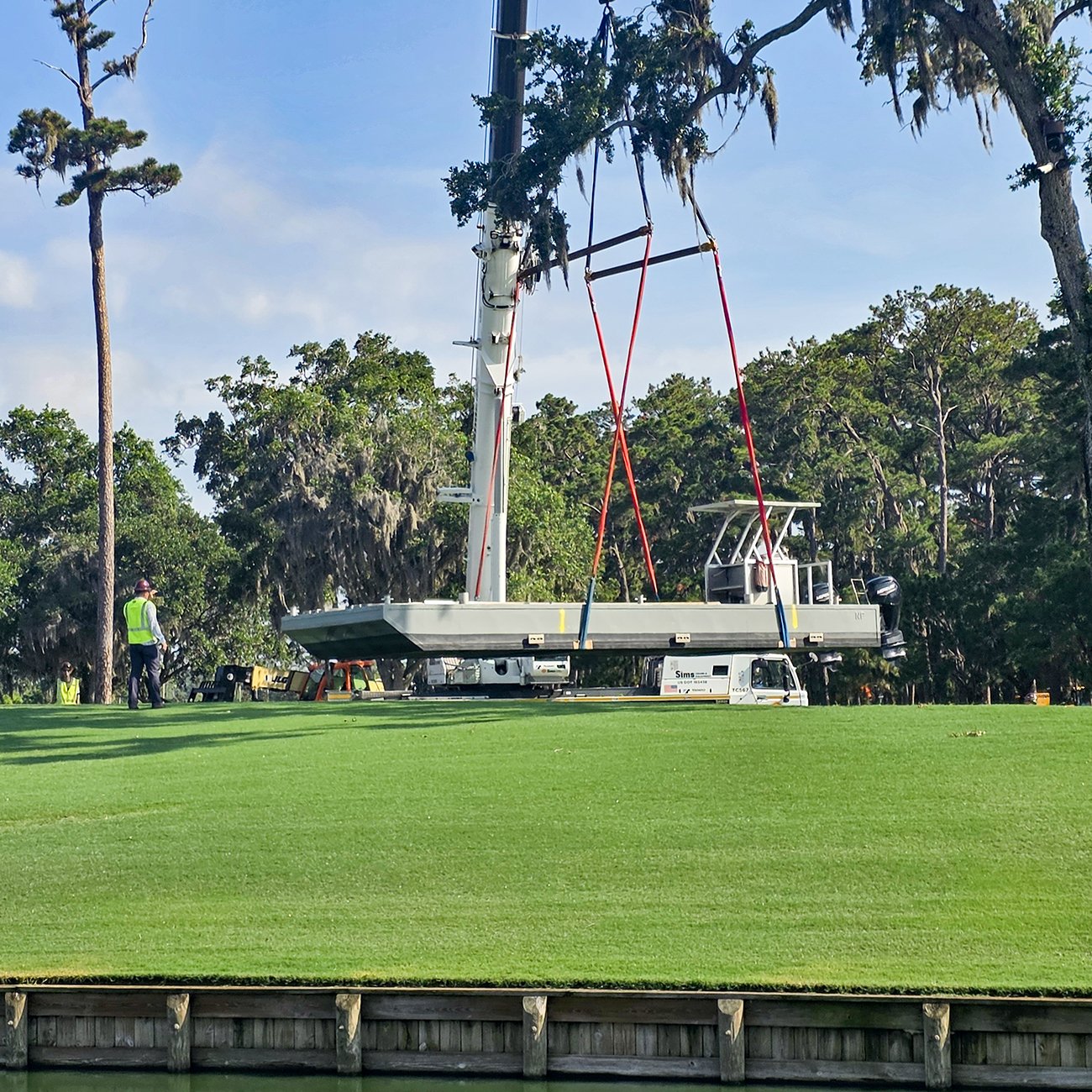
The survey also involved marking the locations for 69 piles to guide installation and keep the bulkhead properly aligned. Field Crew Supervisor Marshall Batten managed UAV data collection and stakeout calculations, while Survey Technician Alex Ferrari performed static laser scanning from multiple control positions to generate a comprehensive point cloud for any future site work.
While technically straightforward, the project carried unique significance because of its setting and the precision needed to make sure the existing design stayed the same. By delivering reliable survey data on a compressed schedule, DRMP helped facilitate improvements to one of golf’s most iconic landmarks while preserving its distinctive character.