Jenny Black arrived at DRMP’s annual TopoDOT training last week at the firm’s Orlando, Fla., headquarters eager to expand her knowledge of the geospatial technology transforming the surveying industry.
With a background in telecommunications and construction, Black is a Computer-Aided Design (CAD) technician with 10 years of experience in those fields and is now in her first year of surveying. She said the four-day training provided a valuable opportunity to deepen her understanding of LiDAR workflows, advanced geospatial software, and DRMP’s cutting-edge survey equipment.
“Seeing the boat has been so cool because I’m from the coast,” said Black, referring to the firm’s Z-Boat, a remote-controlled hydrographic survey vessel used to collect mapping and depth data in waterways and hard-to-access areas. Black works in DRMP’s Raleigh, N.C., office and grew up in Wilmington, N.C.
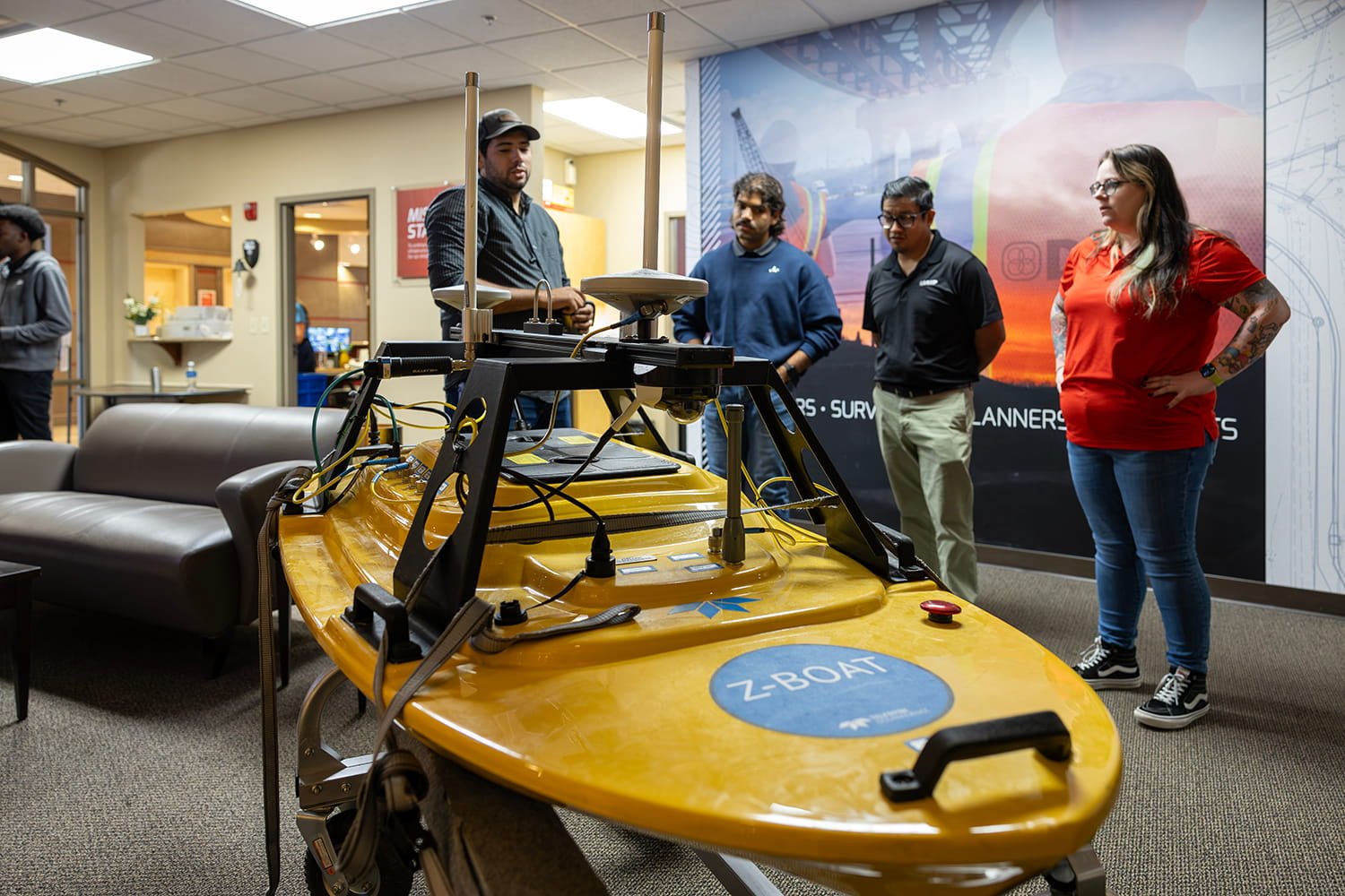
Black was one of 15 surveying professionals selected from DRMP’s offices in Florida and North Carolina, including St. Augustine, Tampa, Boca Raton, Orlando, Raleigh, and Troutman to attend the firm’s fifth annual TopoDOT workshop.
The TopoDOT workshop reflects DRMP’s continued investment in employee development, equipping survey and mapping/geospatial professionals across the firm with advanced training and hands-on experience using emerging geospatial technologies.
The training familiarized attendees with TopoDOT, a professional point-cloud and LiDAR processing software platform used by surveyors, engineers, and geospatial professionals to convert laser scan data into accurate CAD models, topographic maps, digital twins, and infrastructure deliverables. The training was led by DRMP Vice President and Geospatial Services Division Manager Brent Bass, PE, PSM, and Mobile LiDAR Group Leader Bryant King, CST, SIT.
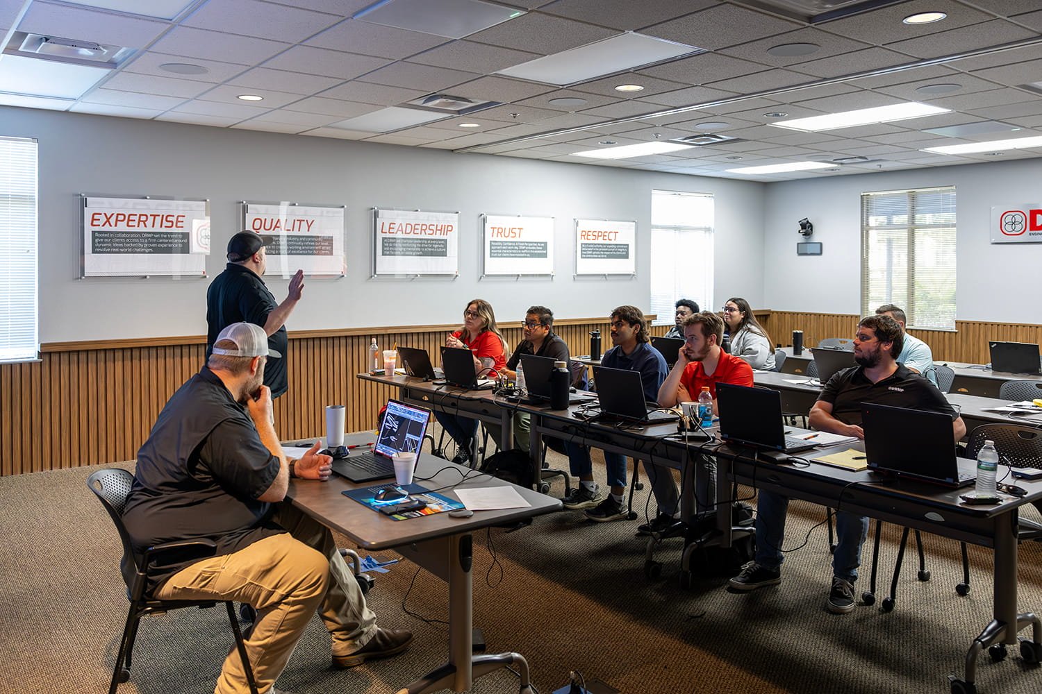
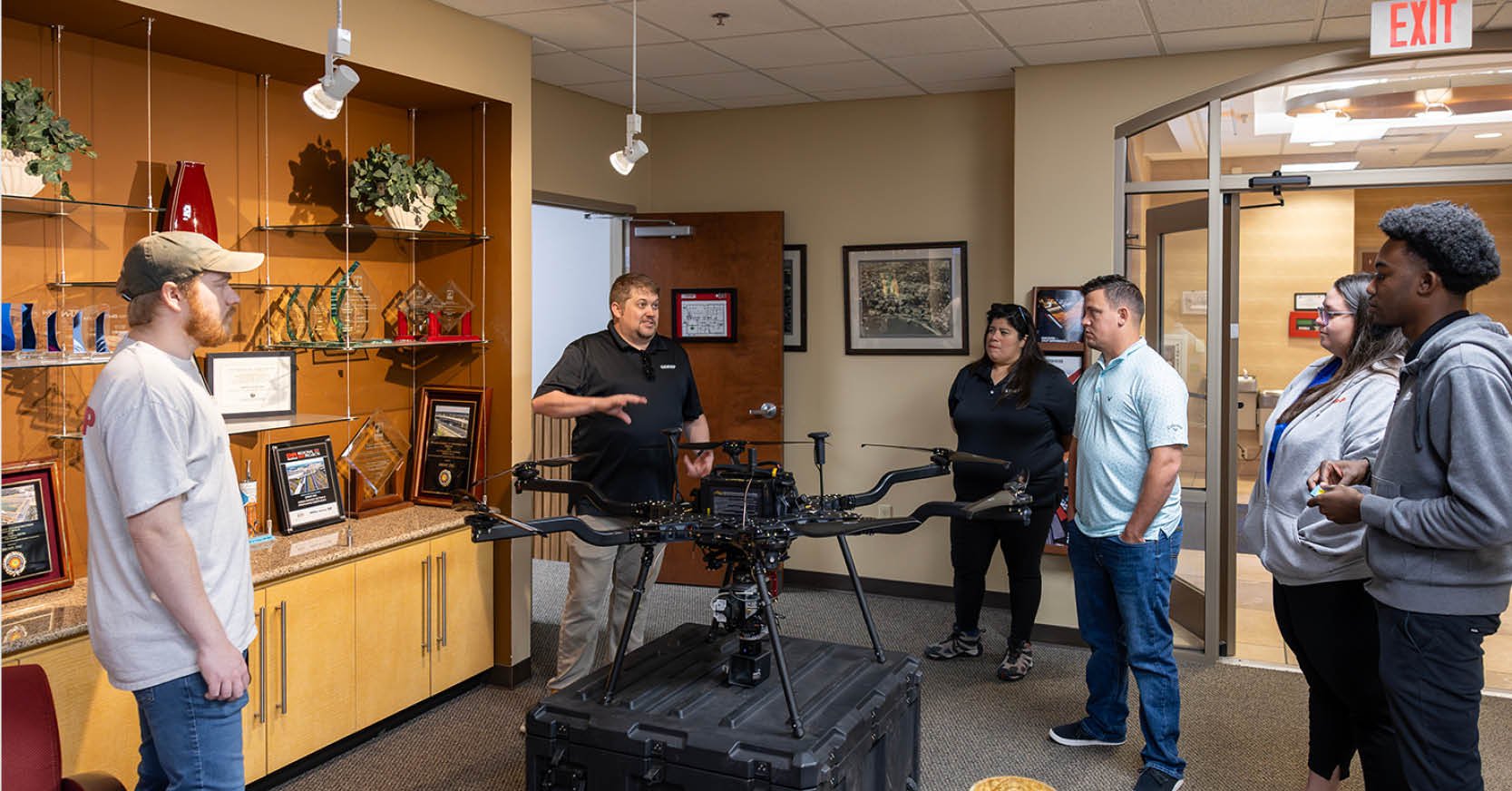
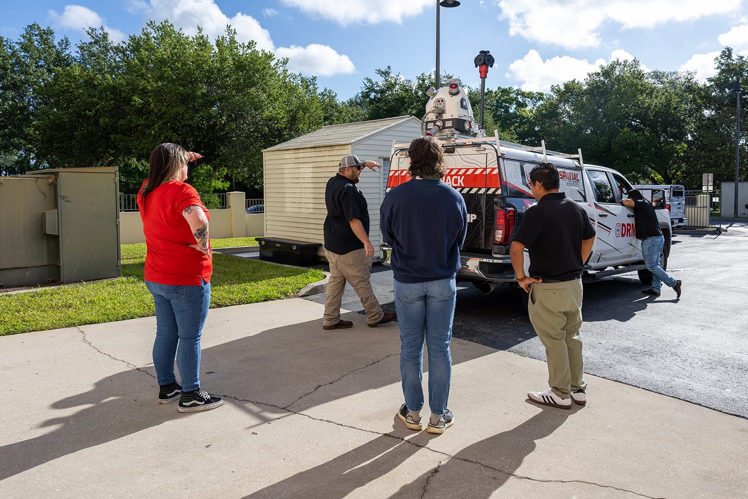
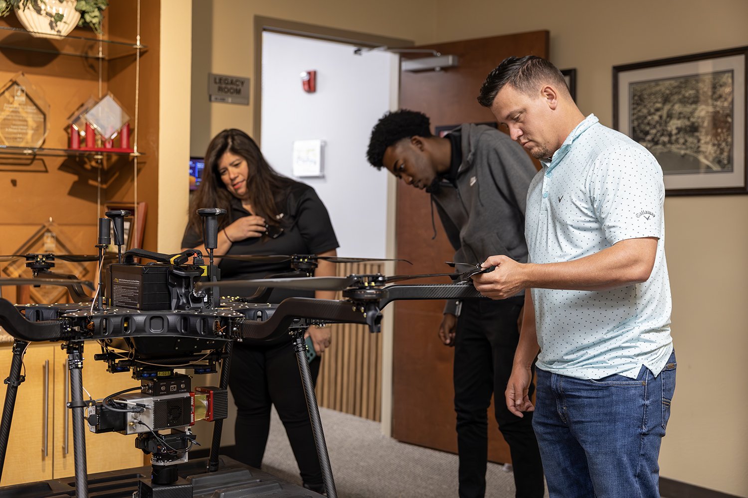
Throughout the training, attendees received hands-on experience with the firm’s mobile LiDAR truck, the Z-Boat, and unmanned aerial vehicles (UAVs), such as the Harris H6 Hybrid UAV with a LiDAR payload.
Hands-On With Survey Technology
Employees spent four full days learning LiDAR workflows, including building electronic field books in MicroStation, managing and extracting point cloud data in TopoDOT, and performing roadway feature extraction, terrain modeling, and quality control procedures used to produce accurate 3D survey deliverables for projects.
Throughout the week, participants also received demonstrations of DRMP’s survey technology. For Black, the experience represented an opportunity to build confidence in an industry she is still learning.
“I was really intimidated coming in,” Black said during the training. “But, so far, it’s definitely been an info dump, a little bit overwhelming, but I have been retaining most of it.”
She said the opportunity has helped her better understand the overlap between surveying standards in North Carolina and Florida while giving her a stronger foundation in the field.
Survey Analyst Alessandra Alavedra-Benott from DRMP’s Boca Raton office said she hopes the training will help her become more efficient and confident working on drainage projects and curve extractions.
“I would like to do more projects that are in areas you can’t get a car in,” Alavedra-Benott said. “Like using the (UAV) for projects in rural areas and farm areas and using the boat for projects in the Everglades.”
She said she was surprised by the sophistication of the Z-Boat and the size of the UAVs used during demonstrations.
“I didn’t think the boat had so many batteries and had a computer inside,” she said. “And I didn’t think the (UAV) had six propellers and was that big.”
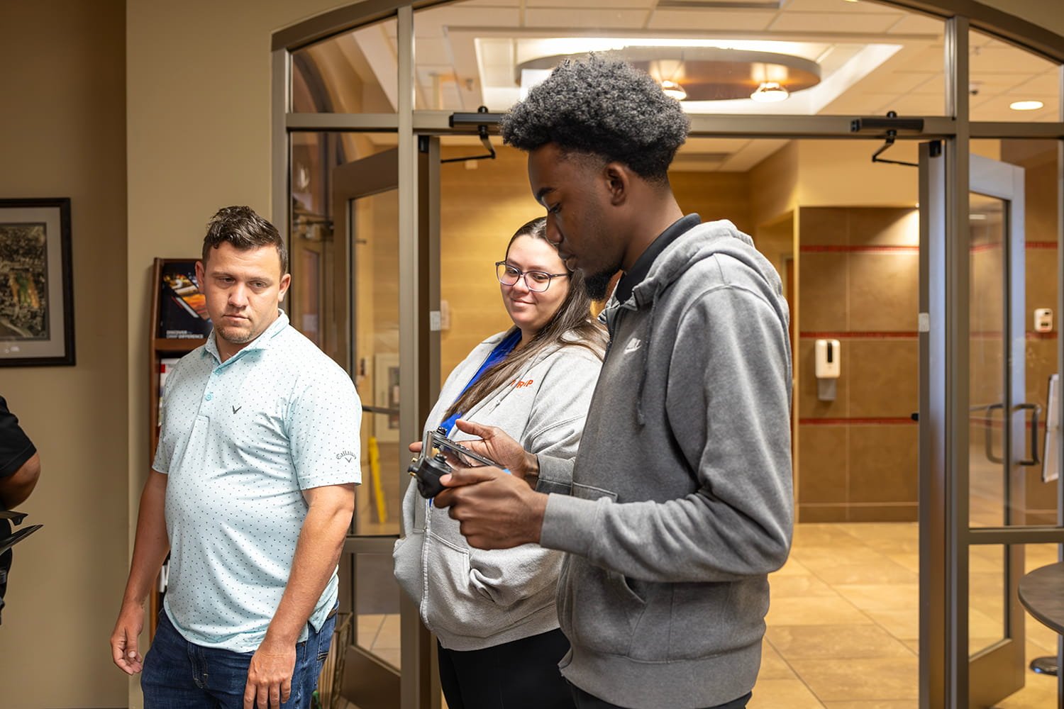
Survey analyst Ronald Hinkle, also from the Boca Raton office, said the UAV demonstrations stood out to him as well.
“How the (UAV) is controlled with an (iPad-based controller),” Hinkle said. “You don’t have to control it like you would a regular (UAV).”
Career Growth and Future Opportunities
The training also inspired employees to think about future career opportunities within DRMP and the surveying profession.
Survey Field Technician Dillon Durham from DRMP’s Tampa office is enrolled in the geomatics program at the University of Florida and is working toward professional licensure.
“My biggest goal is to be licensed and in multiple states to expand DRMP,” he said.
Durham earned his UAV pilot’s license in 2023 and already uses UAVs for photography outside of work. He said during the training he hopes Tampa eventually receives its own UAV equipment to support projects locally.
“We need a (UAV) in Tampa,” he said. “I’d like to learn more about the actual TopoDOT to support the office.”
For Esmerelda Segura, a survey technician in DRMP’s DeLand office with several years of survey experience, the training reminded her how quickly the profession is evolving.
“With geospatial, things are moving and people are learning the different technologies,” Segura said. “It seems more like a gaming thing with TopoDOT.”
Although she appreciates traditional surveying methods, Segura said she values the opportunity to continue growing with new technology.
“I’m very happy to have this opportunity and get to grow,” she said.
Chance Bradley, a survey technician in DRMP’s St. Augustine office, said the training gave him the opportunity to better understand the office side of surveying after years spent working in the field.
“I’ve always been the guy who’s been out waist-deep in the swamp getting the shot,” he said. “Now I’m really learning what the next phase of it is once it comes into the office.”
Bradley said the opportunity could help accelerate his career growth earlier than many field survey professionals typically experience.
“A lot of guys in my position don’t usually move into the office until they’ve been a crew chief for 20 years,” he said. “So I’m extremely lucky to have this opportunity.”
Survey Analyst Garett Salmon who works in DRMP’s Orlando office said the training has helped connect the concepts he learned in school to real-world surveying applications.
“You learn about the theory of it in school, but to put the theory into practice has been really cool and interesting,” he said.
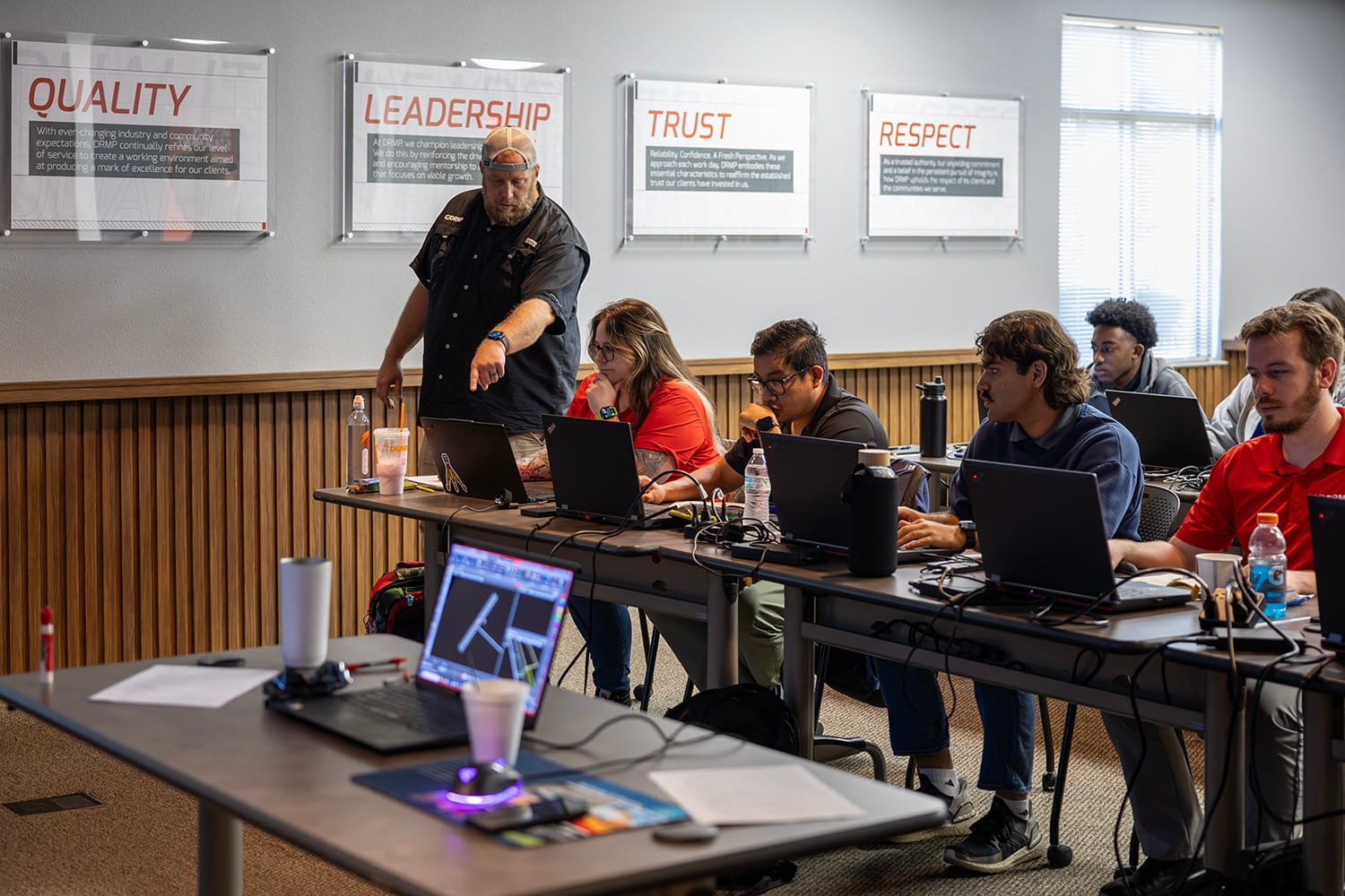
Bass said the annual training has become increasingly important as LiDAR technology becomes incorporated into more DRMP projects throughout multiple offices.
“Our LiDAR work has become such a normal thing in all of our processes,” he said. “It is great to have people trained in every office, not just in Orlando.”
He said the firm’s goal is to expand LiDAR capabilities across regions, especially in North Carolina, where mobile LiDAR scanning has grown significantly over the last year and a half.
“We want them to do more and more of their own work,” Bass said.
He credited DRMP leadership for supporting the growth of the firm’s survey and mapping/geospatial services over the last decade.
“Nine years ago, we didn’t do this at all,” he said. “We didn’t even have a LiDAR team.”
Bass said DRMP’s support allowed the team to grow the program organically and establish its own standard operating procedures.
“I feel like we’ve become one of the top LiDAR groups in Florida, if not the Southeast,” he said.